Latin America
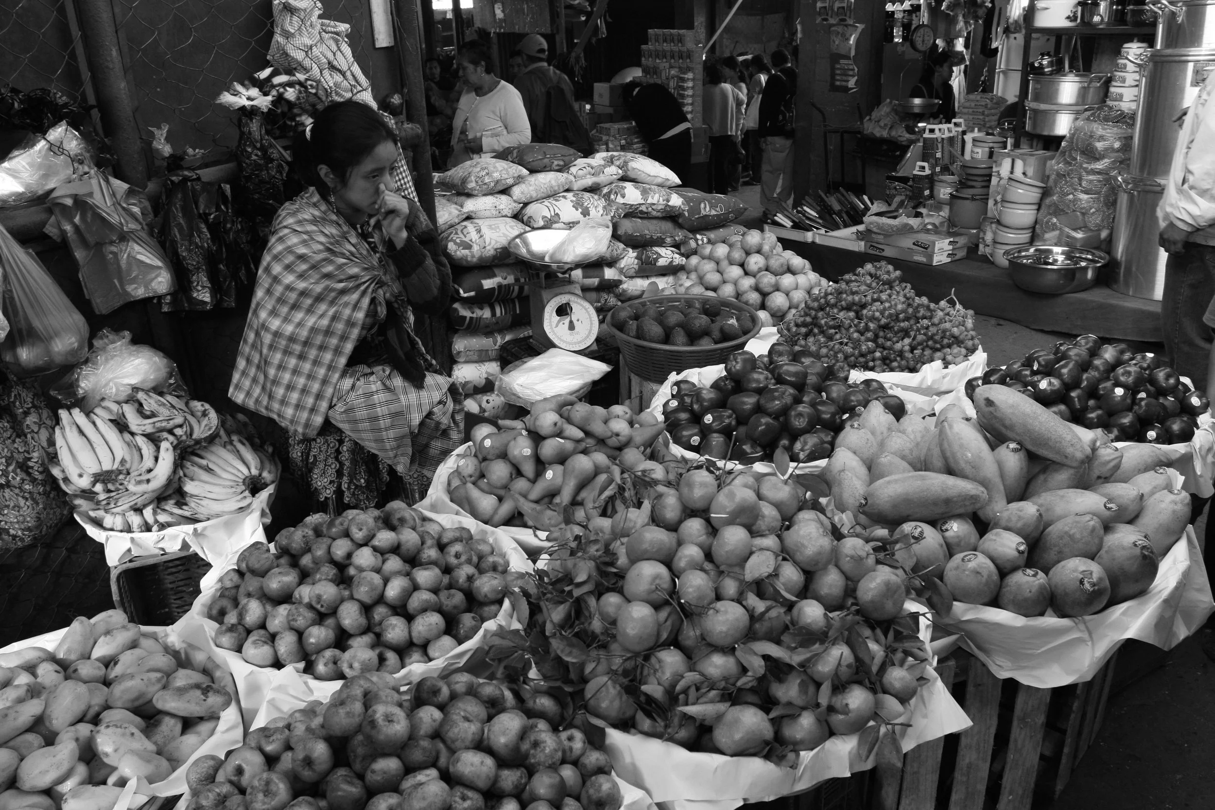
The 8th grade geographers will be heading "south of the border" for their Latin America region unit of study. Latin America is the longest (north to south) landmass on earth and stretches from the Rio Grande river in the north (Border of US & Mexico) to the Tierra del Fuego archipelago on the southern tip of the South American continent. The major world regions included within this unit will be Mexico, Central America, the Caribbean and South America. This unit is 3 week experience that contains 2 maps of the region (Political & Phyiscal), an Activity Packet, and a Class Presentation Project in which the students become the teacher. Below you will find a "download" list of items used in class and a detailed description of all the activities within this unit. Please click the "Schedule" tab to the left in order to view the daily happenings & the event schedule for our Latin America Unit!
Click on Titles below for a downloadable PDF...
Latin America Activity Packet
Rainforest - Land Use Conflict Notes/Intro
Tropical Rainforest/Amazon Slideshow/Notes/Discussion
Galapagos Islands Slideshow (Islands & Animals)
LA Regions/Neighborhoods
LA UNIT - Basic River Terms Quizlet
Click on Helpful Latin American Links Below...
Day of the Dead GeoTV Clip (Snap LA Example)
Coffee GeoTV Clip
Galapagos Islands Video
The Lorax Movie - Original
Pico de Orizaba/Mexico Travel Video
Click to Enter - RAINFOREST VIDEO JOURNEY
Click HERE to Download Rainforest Video Journey Worksheet
Latin America Video Links…
Amazon Rainforst Intro (in Spanish w. subtitle) - USAID 1:08
What is the Rainforest? - YouTube 2:21
Why is BioDiversity Important (Amazon Focus) - TEDed 4min
The Amazon Rainforest (the Importance to Humans) - Tristan Cheeselet 2:20
Checking the Rainforests Vital Signs (Scientists Work in Amazon) - bioGraphic/UofArizona 3min
Surfing the Amazon, Brazil - Great Big Story (in Spanish w/ subtitles) - 2min
Exploring Mayan Ruins in Guatemala (Tika) - Great Big Story 1:30sec
Nature Reclaims Whaling Station - Grytviken, South Georgia Island - Great Big Story 1:32sec
Ancient Dance of the Gods “Dance of the Deer”, Guatemala - Great Big Story 3:34
Canals of Xochimilco, Mexico “The Curse of Doll Island” - Great Big Story 2:04
Andes Red Lagoon, Chile - Great Big Story 1:17
Mexico’s Monarch Butterfly Migration - Atlas Obscura 6:45
Latin America in a SNAP
Slide #1 – Intro you (Full Names) and your Subject (10 seconds)
Slide #2 to 11 – Tell “Story” of your Place/Subject (10 seconds each)
Slide #12 – Thanks for Watching (10 seconds)
Total Time of Snap Story = 120 seconds or 2 min
The very Basics…
1) Each Slide has ONE picture
2) Each Slide has text/emojis to “tell the story” (keep these to the point)
3) Text must appear like snap chat…gray background with white text
4) Each Slide should be set to advance after 10 seconds
5) You/Groups need(s) to submit 2 questions for students that they can answer while watching & these questions should be mulitiple choice with 4 possible answers. (Please email your questions to Geo Teacher)
6) think of your presentation as a “top 10”...helps get organized!
7) Slides with Blurry or Stretched Images will receive Zero Credit
8) Slides that do not follow below “Formal Writing Goal” will receive ZERO Credit!
Formal Writing Goals - Snap LA Proj.
#1 - ALL Words Spelled Correctly
#2 - ALL Proper Nouns Capitalized
Mr. Gilbert's Example - South Georgia Island
Example Student Questions...(watch SNAP above to answer)
#1 - The Arctic Weather of South Georgia Island could best be described as...
a) Warm, Humid & Rainy
b) Mild Temperatures Year Round with Average Rain
c) Cold Harsh Conditions Year Round
d) Hot and Dry
#2 – What Economic Industry made South Georgia Island famous?
a) Drilling for Oil
b) Sheep Herding
c) Tourism
d) Whaling
Getting the Grade:
_____ 5 pts - Intro Slide (includes title, student names & Pict)
_____ 50 pts - Topic Slides (10)
_____ 5 pts - Thanks for Watch/Last “fun” Slide
_____ 10 pts - Snap Q’s Emailed to Teacher
_____ 30 pts - SNAP Question Document Completed
Final Snap LA Grade = ______ / 100pts
Topics: (Topics are assigned to individuals/groups by random drawing)
1 Easter Island
2 Torres del Paine Nat’l Park
3 Amazon River
4 Cuba
5 Old San Juan Puerto Rico
6 Machu Pichu
7 Country of Panama & the Panama Canal
8 Aztec People
9 Inca People
10 Mayan People
11 Atacama Desert
12 Iguazu National Park/Falls
13 Patagonia
14 Lesser Antilles
15 Greater Antilles
16 The Andes
17 US/Mexico Border
18 Teotihuacan, Mexico
19 Christ the Redeemer and Rio de Janiero
20 Story of Coffee and Latin America
21 Save the Rainforests/Rainforest Destruction
22 Antigua, Guatemala
23 Tikal
How to Finish/Turn in Project?
SNAP LA Student Questions:
1) Create 2 Multiple Choices Questions from Presentation
2) Copy Paste Questions into an email on GMail
3) send Questions to cgilbert@isd110.org
4) Please Include Topic, Period & FULL Students names within email body
Upload and Share SNAP Stories:
1) Open your Project in "Slide"
2) Go to "Publish to the Web" in File Menu
3) Select "10 Seconds" in Auto-Advance Slides:
4) Check Box "Start Slideshow as soon as the player loads"
5) HIT blue "Publish" Button
6) Copy Link and Paste in an email to Gilbert (cgilbert@isd110.org)
7) Please include Topic, Period and FULL student names within email body
LA Unit
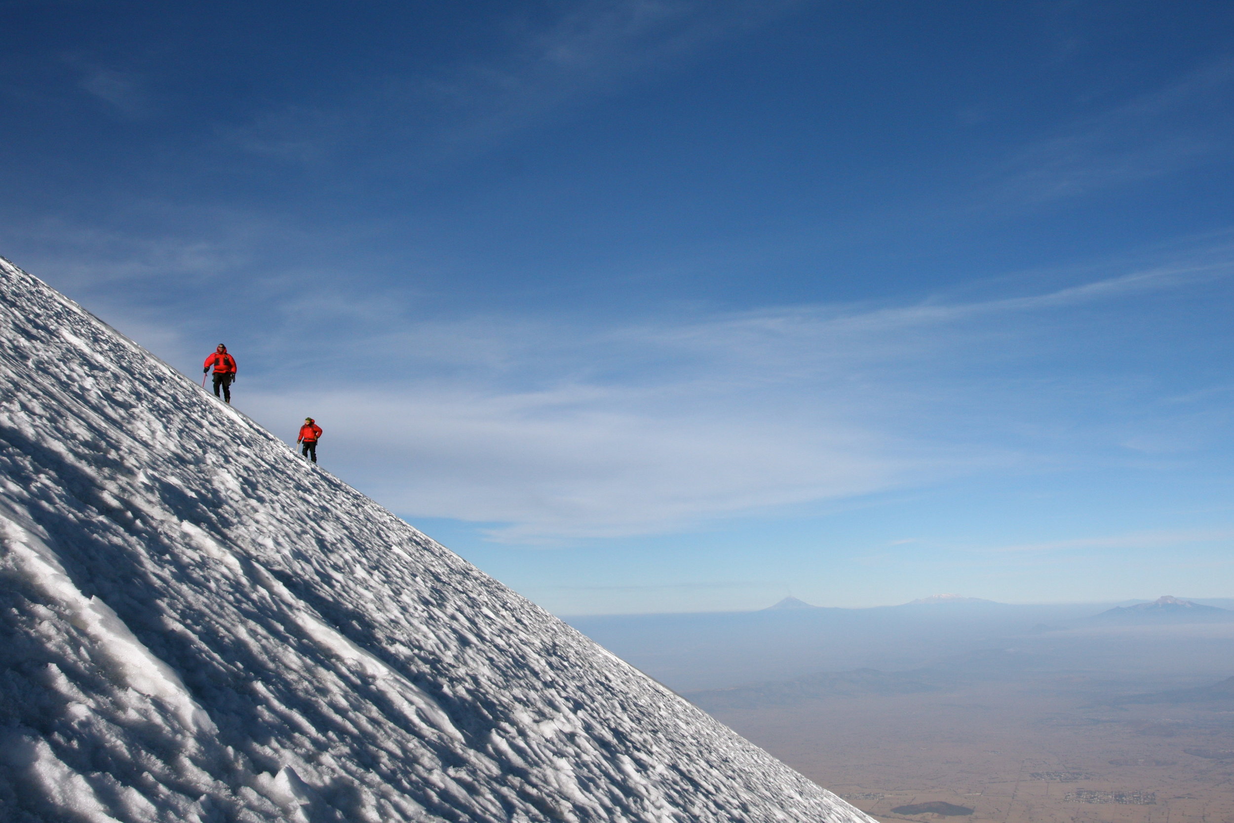
Pico de Orizaba, Jamapa Glacier, Mexico - Gilbert
“When we come to an edge, we come to a frontier that tells us that we are now about to become more than we have before.”