Indigenous Peoples of North America Mini - Unit
Section ONE: UNIT INTRODUCTION
Every November, the United States celebrates National Native American Heritage Month, a time to recognize and honor the rich histories, diverse cultures, languages, traditions, and contributions of Indigenous peoples. With more than 574 federally recognized tribes, along with Alaska Native and Native Hawaiian communities, Indigenous peoples represent a wide variety of cultures and experiences. In this mini-unit, we’ll explore the history and geography of Indigenous peoples, learn about their lasting connections to the land, and recognize their important role in shaping our world. Although Heritage Month became official in 1990, the stories, traditions, and contributions of Indigenous peoples stretch back thousands of years and continue to shape our communities today!
Indigenous. relating to or being a people who are the original, earliest known inhabitants of a region, or are their descendants
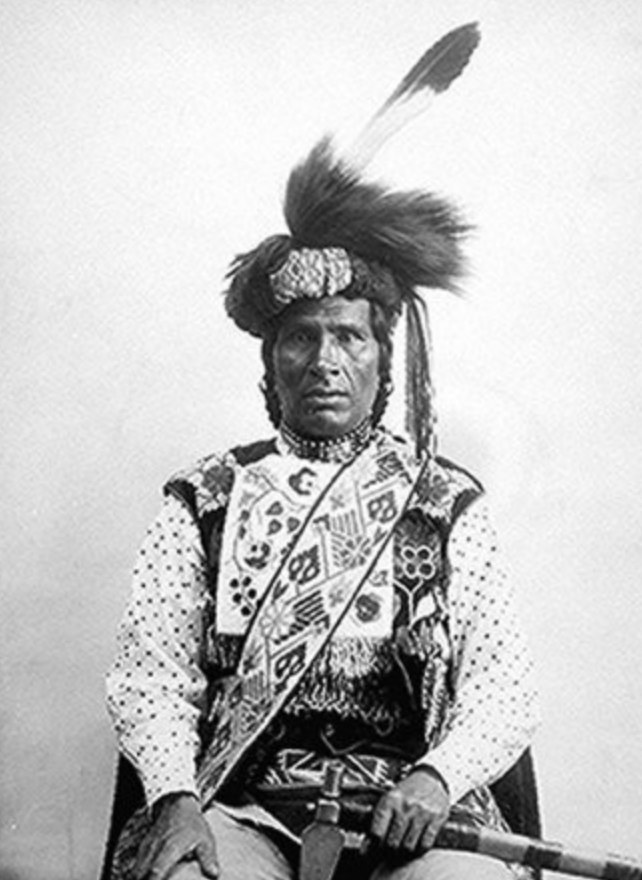
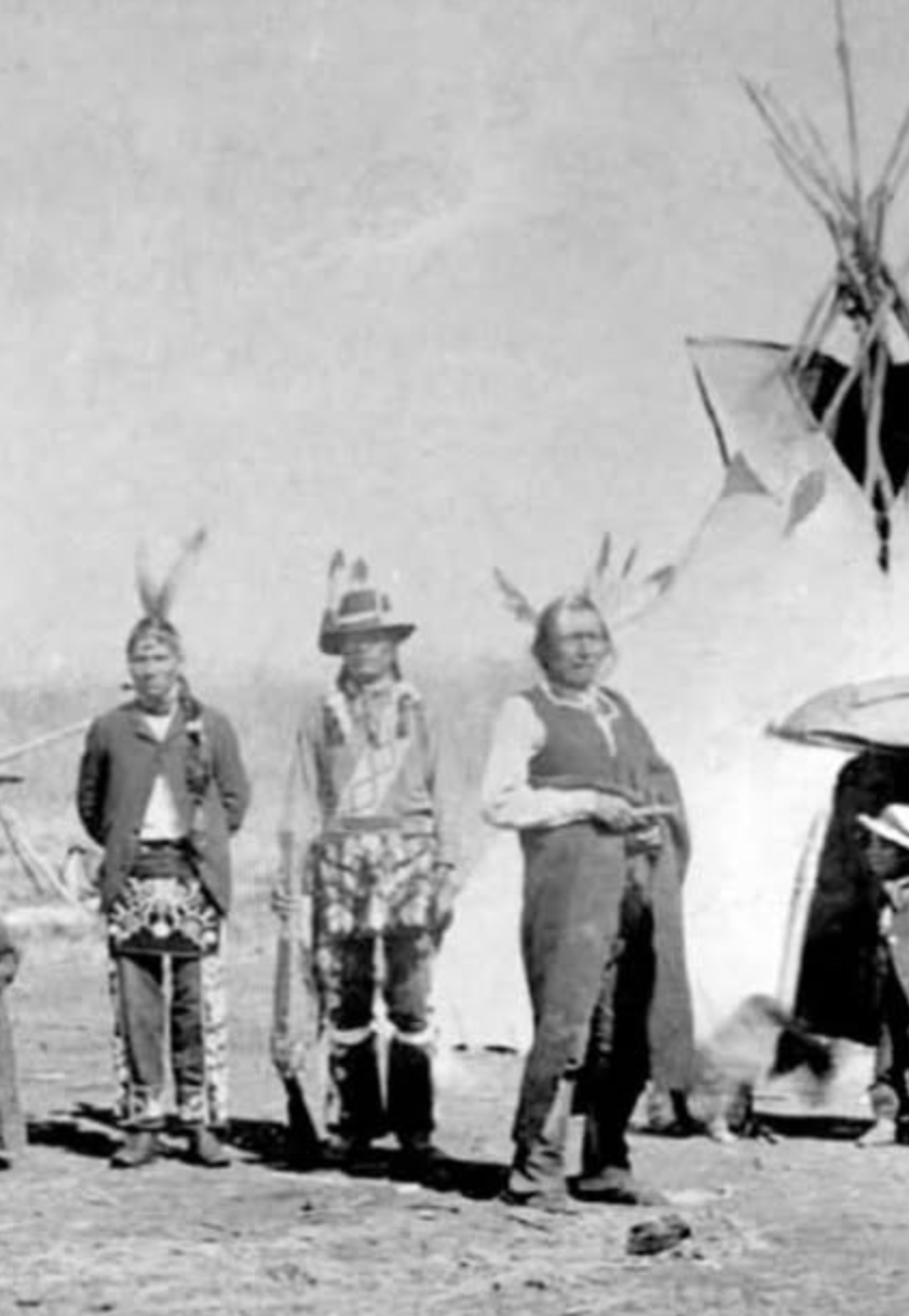
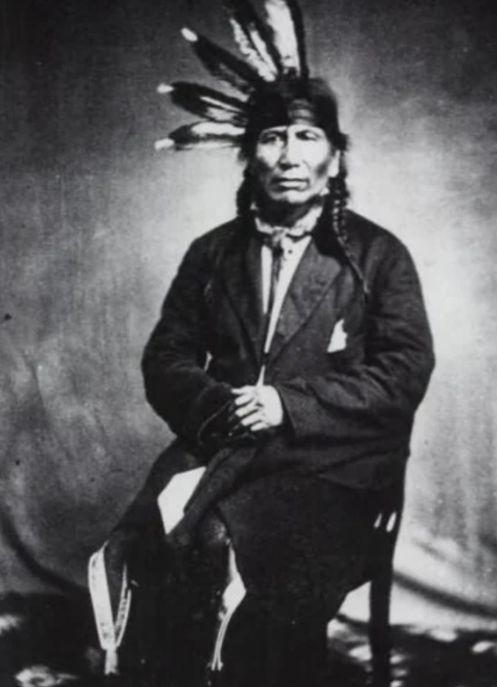
Quick Overview of National Native American Heritage Month:
National Native American Heritage Month is celebrated every November in the United States.
Friday immediately following Thanksgiving officially designated as Native American Heritage Day
Goal is to honor the rich histories, diverse cultures, languages, traditions, and contributions of Indigenous peoples.
Why November? - chosen because it historically marks a traditional period of harvest, spiritual reflection, and tribal gatherings across many Native communities.
1976: President Gerald Ford issued a proclamation recognizing "Native American Awareness Week".
1986: President Ronald Reagan proclaimed a week in November as "American Indian Week".
1990: Congress and President George H.W. Bush passed legislation officially designating November as National Native American Heritage Month
Section TWO: THE BASICS
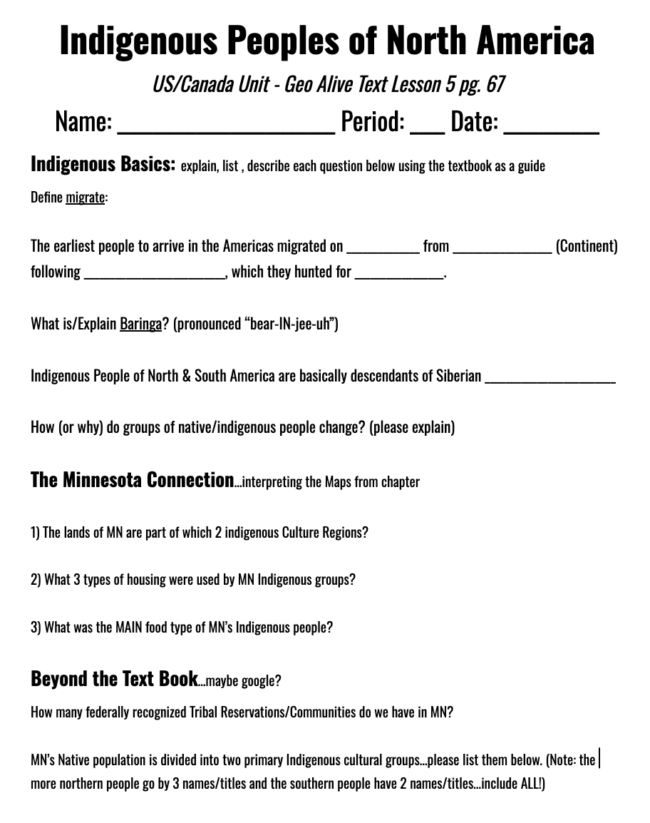
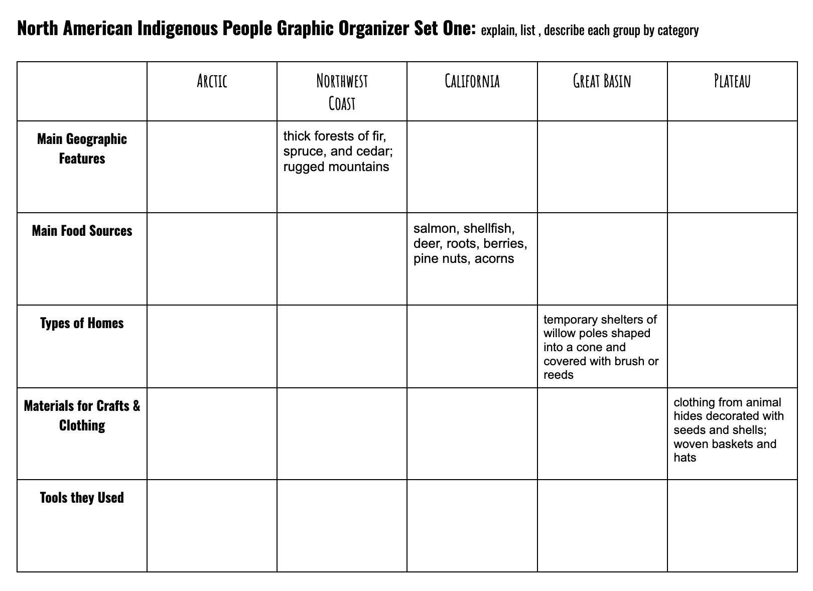
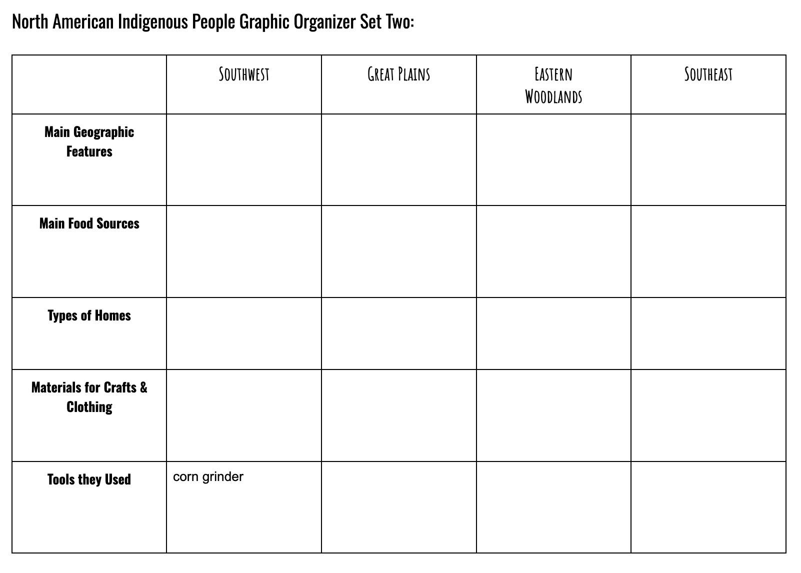
To explore the basics of Indigenous peoples throughout North America and make connections to Minnesota, Geography students will be using Lesson #5 from our GeoAlive textbook. (GeoAlive Lesson 5 pg. 67) This lesson introduces key vocabulary, examines how early peoples adapted to a variety of environments, and explores how they spread throughout the Americas. Students will complete both the Intro Worksheet and Graphic Organizer before moving on to the next section of our Indigenous Peoples mini-unit.
Task One - “Indigenous Intro” Worksheet (teacher will hand out hard copy in class)
Task Two - “NA Indigenous People” Graphic Organizer (will receive from teacher upon completion of Intro)
Click HERE for PDF Viewable version of GeoAlive Textbook Lesson 5
Notes:
1 - students will be able to use actual GeoAlive Textbook while in & around the classroom
2 - CLICK HERE to access a downloadable version of GeoAlive Chapter 5 (for out of class work)
3 - ALL Geo students do get a hard copys of worksheet & graphic organizer in class
Section Three: Mapping Indigenous Groups
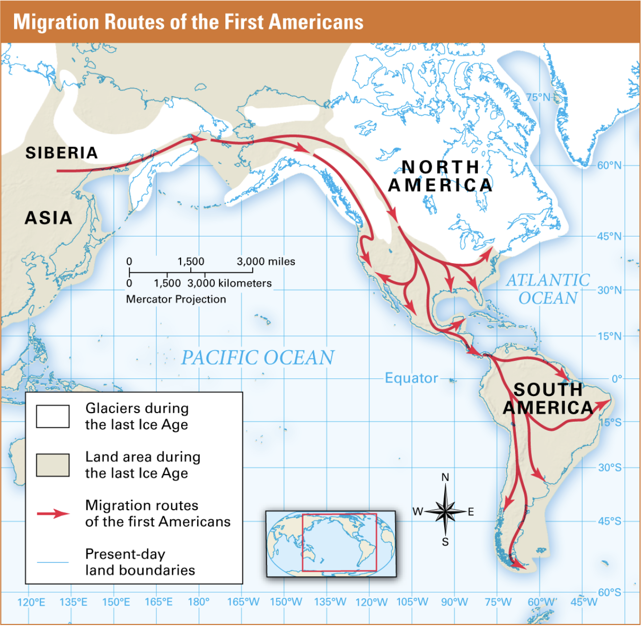
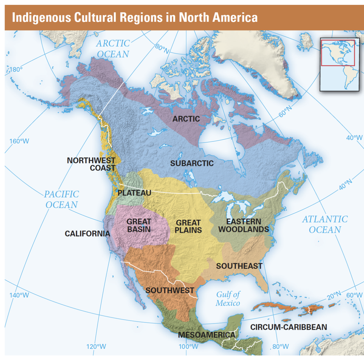
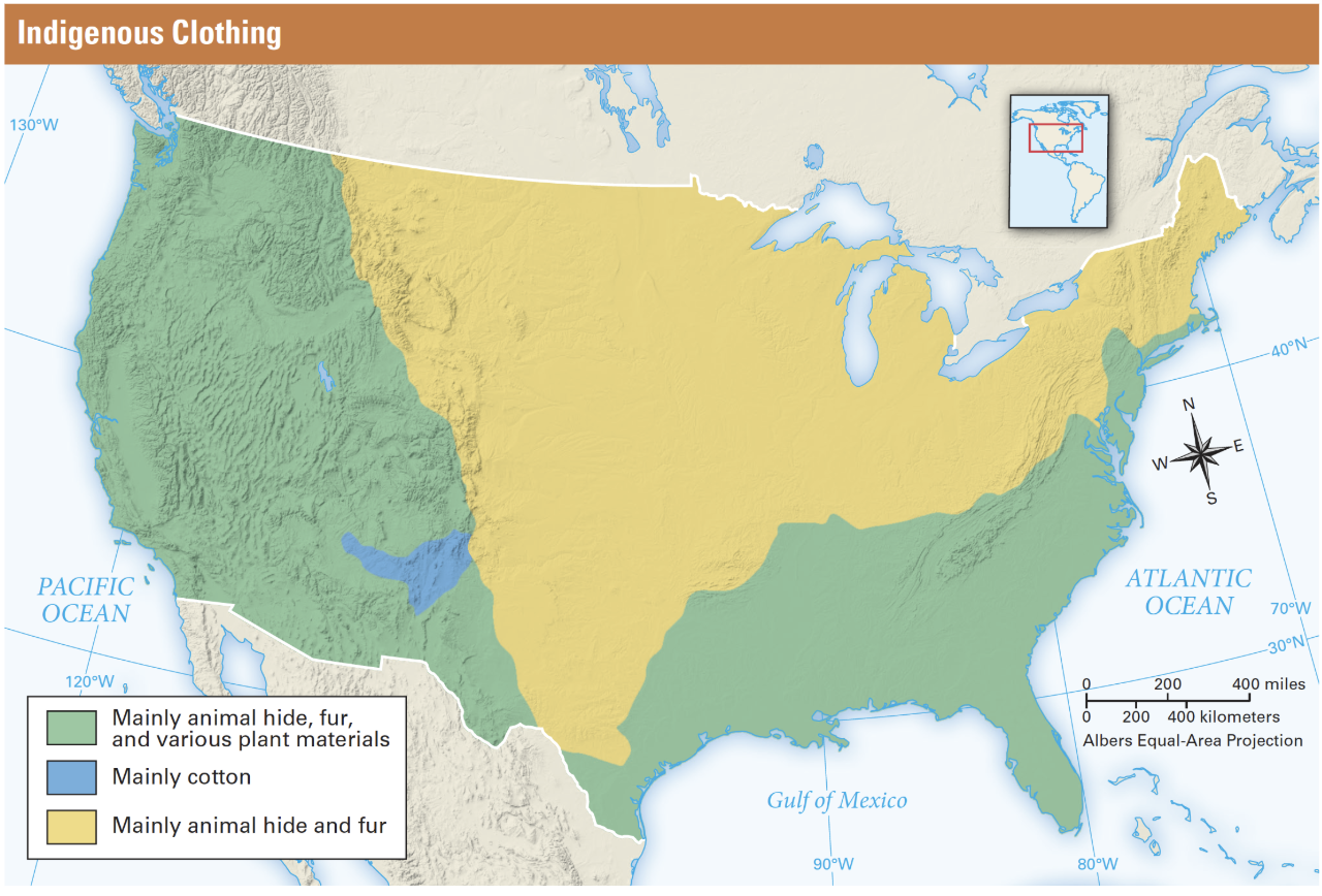
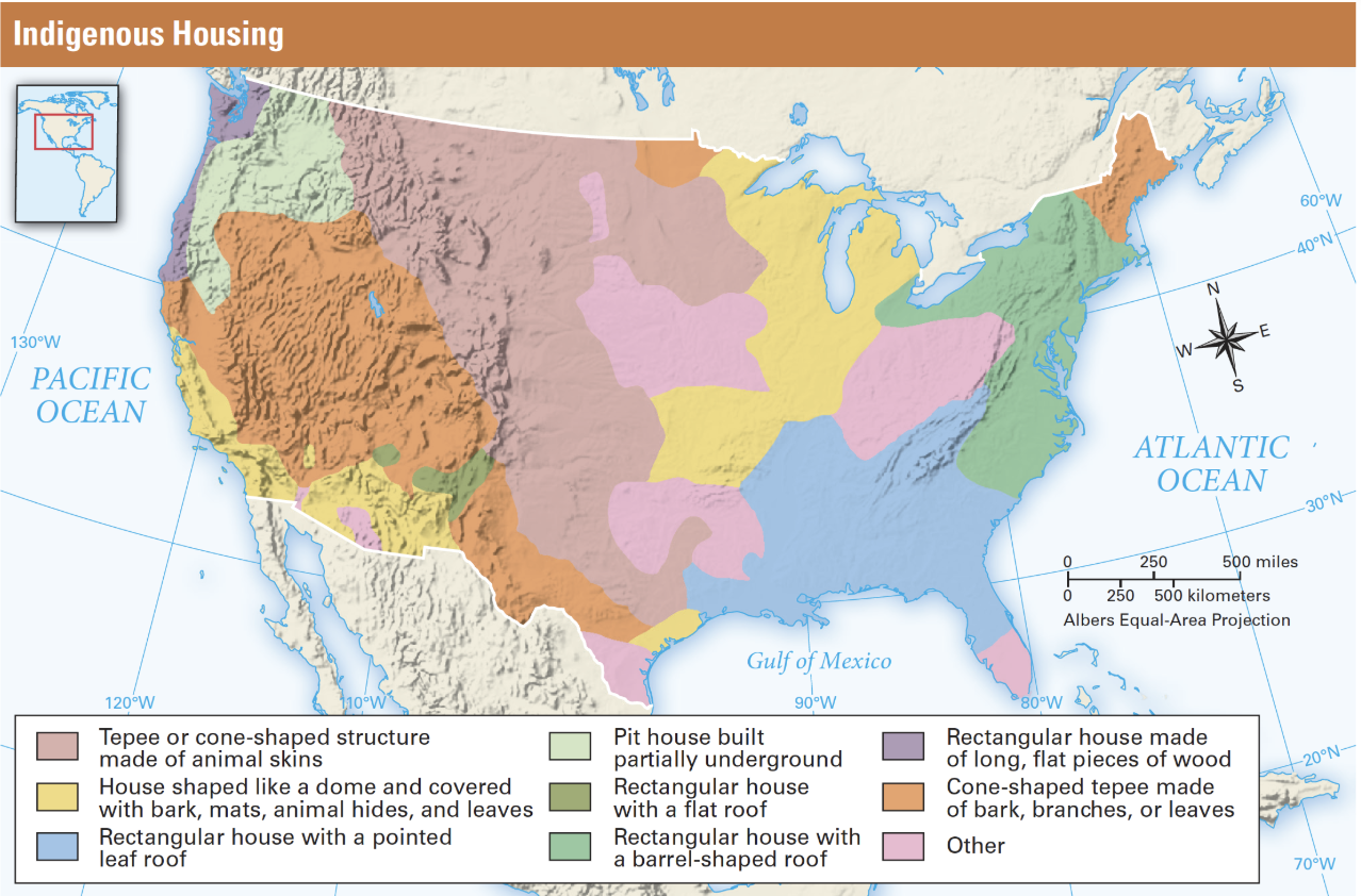
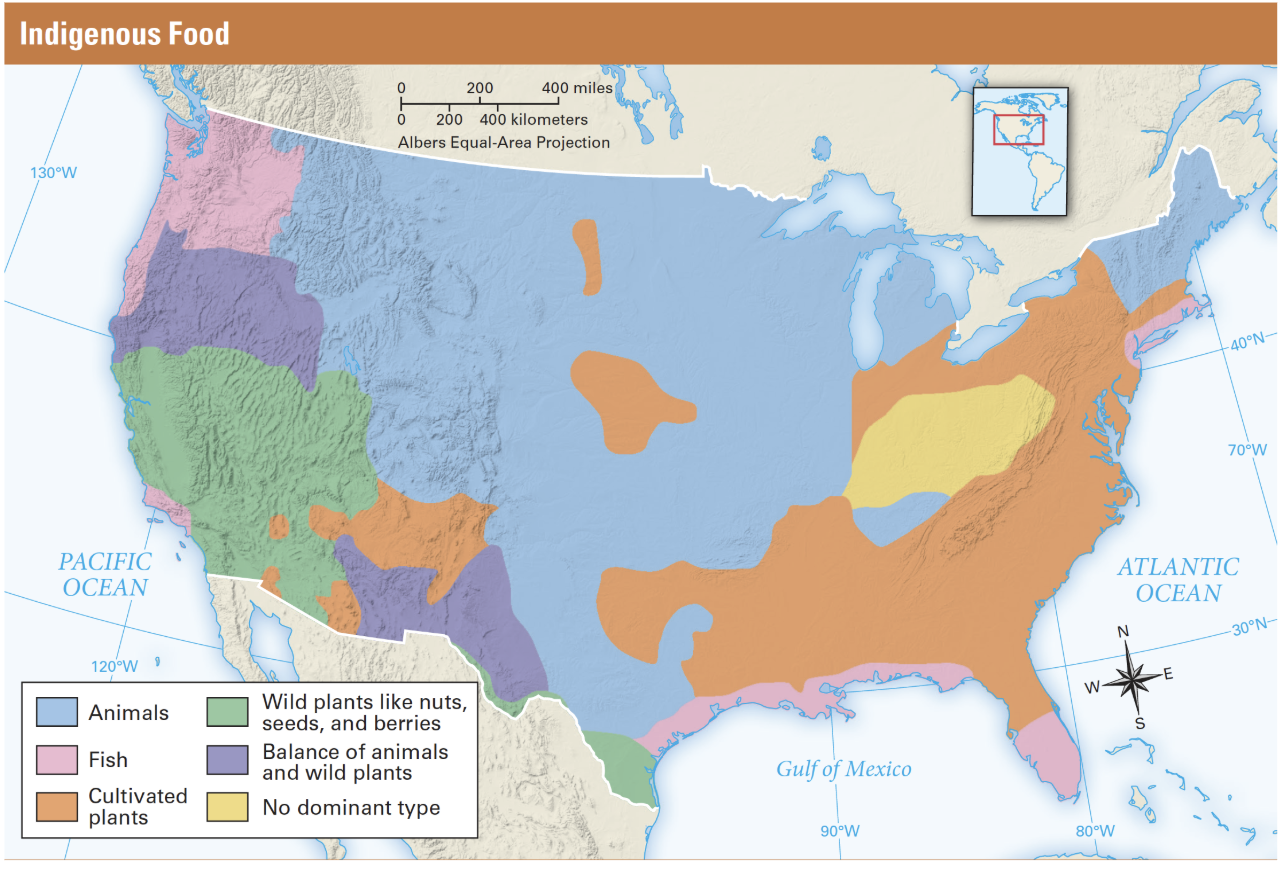
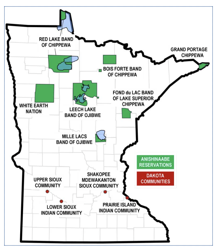
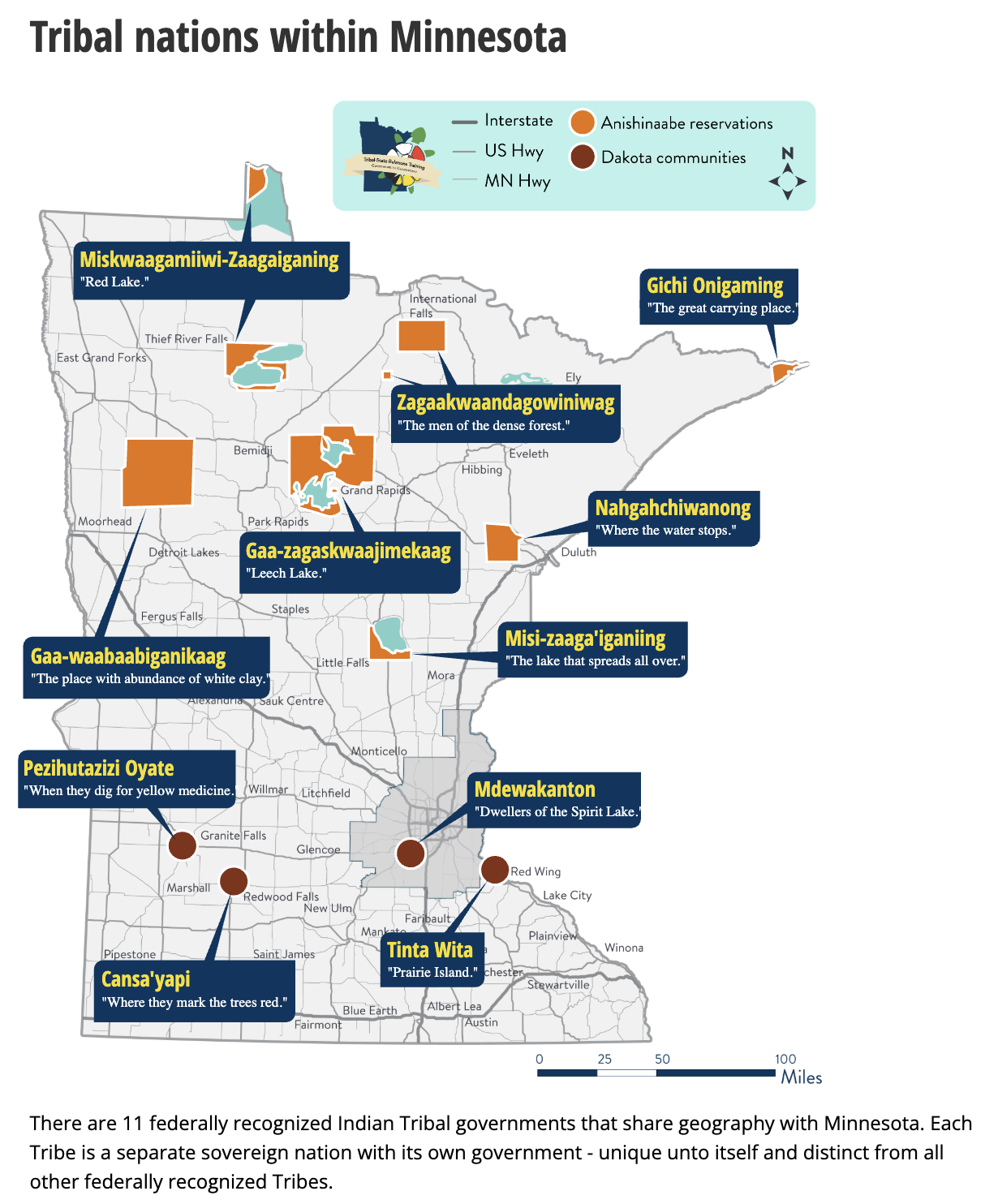
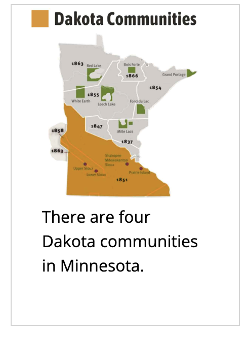
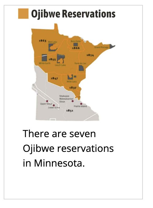
Can you believe it…the first people to reach the Americas literally walked here from Asia? What the heck!?! During the last Ice Age, people crossed a land bridge connecting Asia and present-day Alaska. As they followed food sources and game animals into new territory, lower sea levels exposed land that is now underwater. The last Ice Age ended roughly 10,000 years ago, setting the stage for major environmental changes across the Americas. In this section of our Indigenous Peoples Mini-Unit, students will map and visualize how and where early settlements developed throughout the Americas. Sometimes you just have to SEE IT to BELIEVE IT! Happy Mapping! Please use the GeoAlive Text & the Maps displayed below in order to complete these mapping tasks.
FYI - ALL Maps should be neat & colorful…color helps highlight borders, movement & differences for the reader!
Tasks/Maps complete during this section…(Hard copies available from teacher)
Task One - Ice Age Migration of the 1st “Americans”
Task Two - MN Tribal Communities
Task Three - Indigenous Culture Map of US/Canada
*maps must be done in above order…students can pick up map from teacher in order of completion
Section Four: Indigenous People of NA Art Project
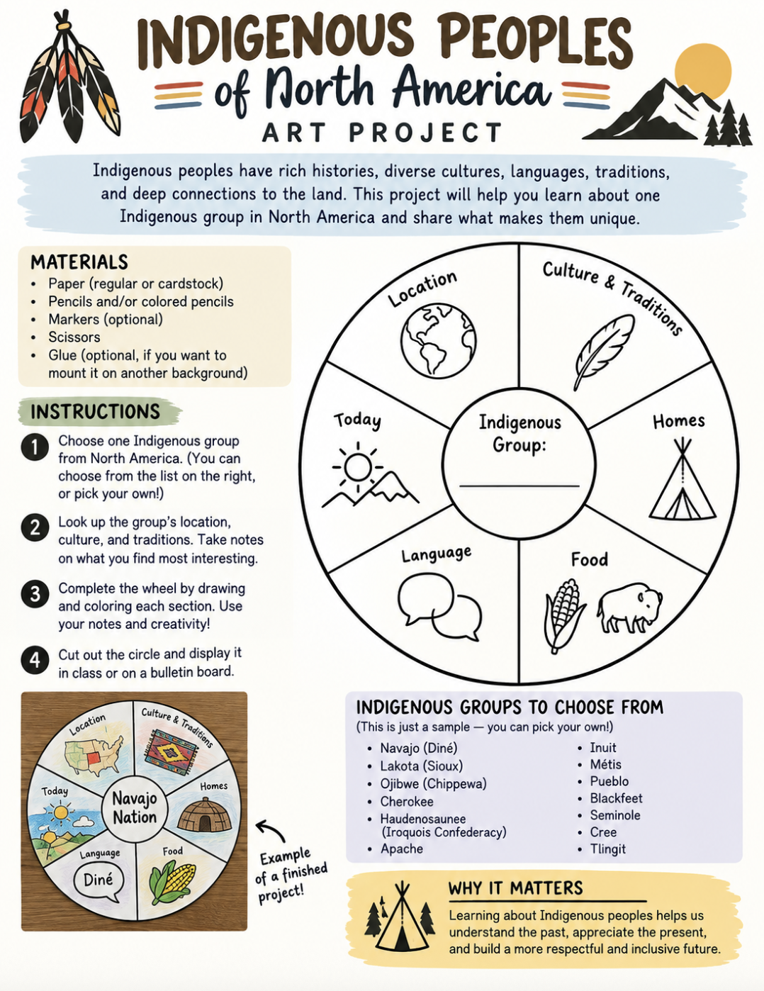
Project Indigenous Tribe Index:
Note: students will pick one to study
Arctic & Subarctic:
Inuit, Aleut, Yupik, Inupiat, Gwich'in, Cree, Athabaskan
Pacific Northwest Coast:
Haida, Tlingit, Tsimshian, Nuxalk, Coast Salish, Makah
California & Great Basin:
Cahuilla, Ohlone (Costanoan), Miwok, Paiute, Ute, Shoshone
Southwest:
Apache, Navajo (Diné), Hopi, Zuni, Tohono O'odham, Pueblo tribes
Great Plains:
Sioux (Lakota, Dakota, Nakota), Blackfeet, Cheyenne, Arapaho, Comanche, Crow, Assiniboine
Eastern Woodlands & Southeast:
Cherokee, Choctaw, Iroquois (Haudenosaunee), Ojibwe (Chippewa), Creek, Seminole, Chickasaw, Lenape
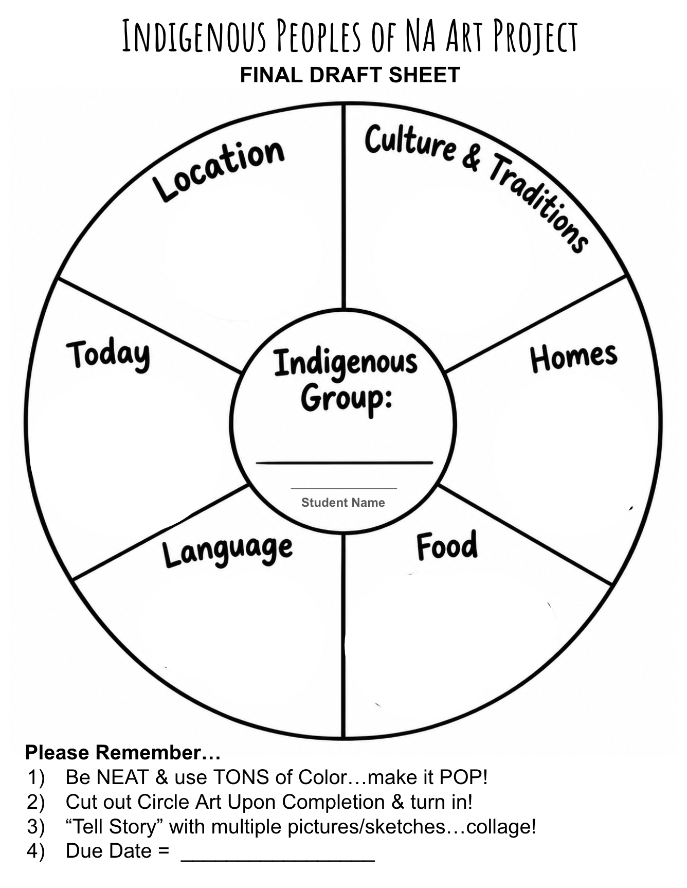
Click HERE for a Downloadable Blank Art Project
Additional Resources for Exploring/Researching Indigenous People throughout North America…
PBS - MN First Nation’s Learning
MN Historical Society - Teaching Native American History & Culture
YouTube “Crash Course” - Intro to Native American History (13 min)
YouTube “Great Big Story” - 6 Stories Celebrating Native History & Culture (12 min)